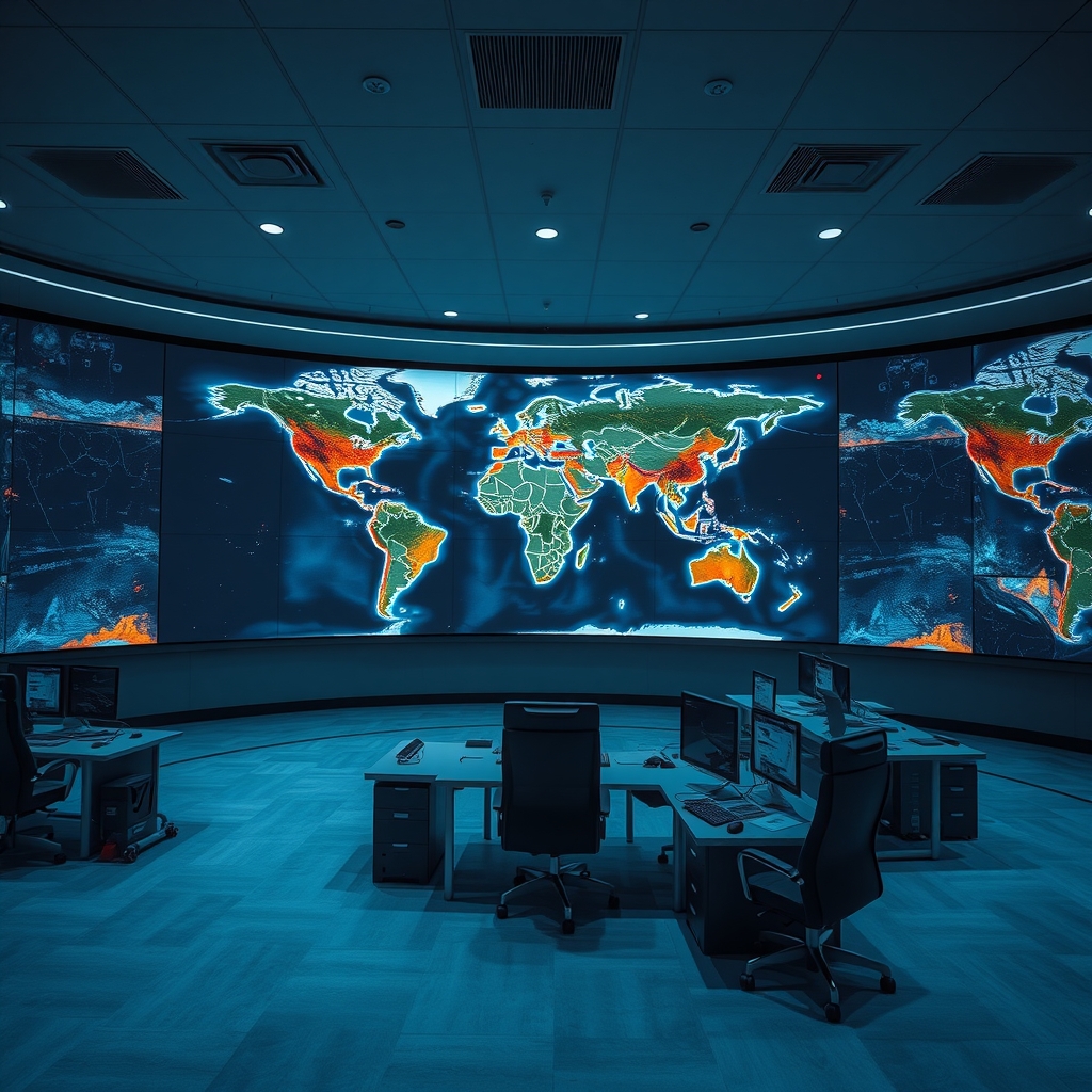
Global Disaster Monitoring Platforms Enhance Real‑Time Earthquake and Volcano Alerts
EarthquakeToday.org provides a live worldwide map of recent earthquakes, displaying each event’s magnitude, depth, and geographic coordinates, refreshed every few minutes to keep the public and scientists informed about seismic activity patterns.
U.S. Geological Survey runs a Volcano Hazards Program that monitors active volcanoes, issues eruption warnings, publishes real‑time ash plume maps, and provides educational materials to help residents and officials prepare for volcanic threats.
Global Volcanism Program maintains an up‑to‑date database of current eruptions, listing each active volcano, its eruption start date, activity level, and recent observations, which researchers and emergency planners use to assess volcanic risk globally.
GDACS aggregates seismic and volcanic data from these monitoring sites, generates coordinated global disaster alerts with impact maps and casualty estimates, and distributes them to governments, NGOs, and media outlets to streamline emergency response efforts worldwide.